OURAY COUNTY, COGENWEB PROJECT
MAPS
Return to Home Page
|
OURAY COUNTY, COGENWEB PROJECT MAPS |
|||||||||
|
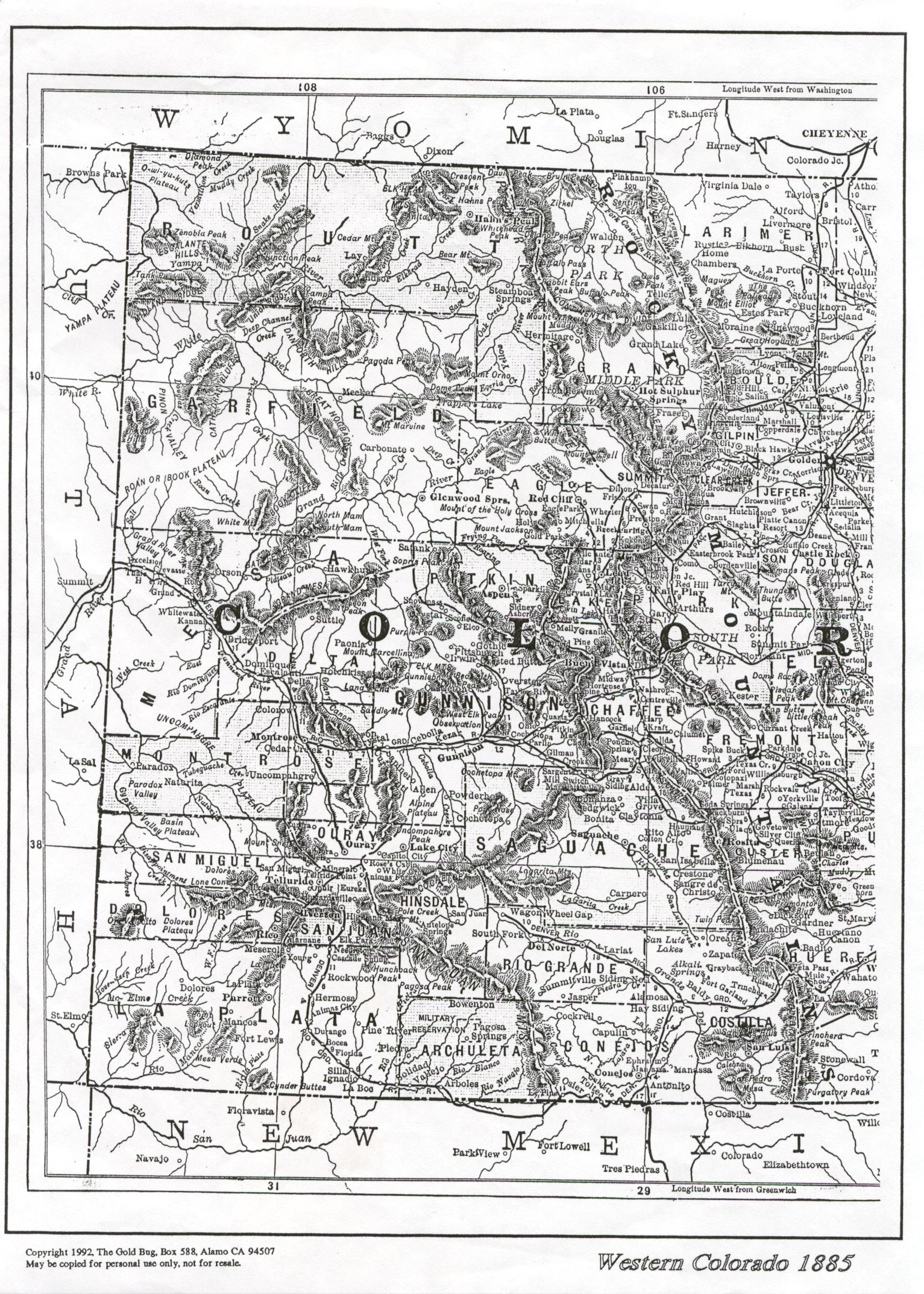
1885 Map of Colorado | ||||||||
|
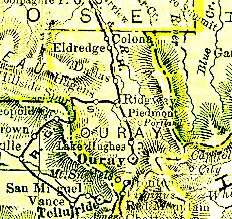
1895 Map of Ouray County | ||||||||
|
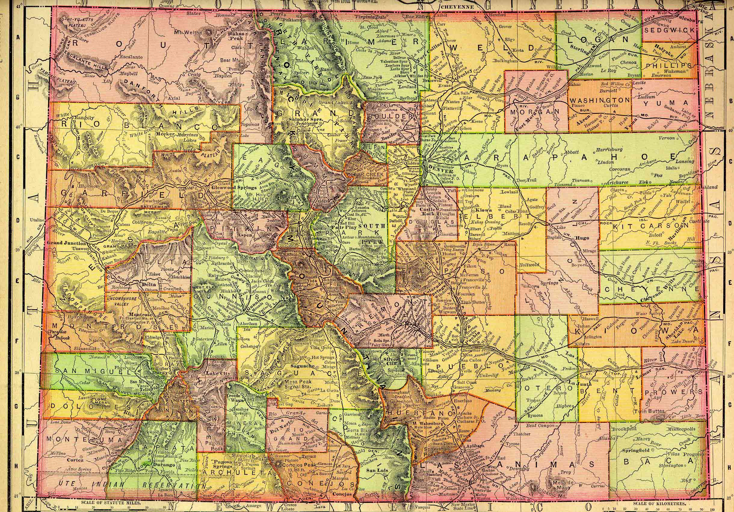
1895 Map of Colorado | ||||||||
|
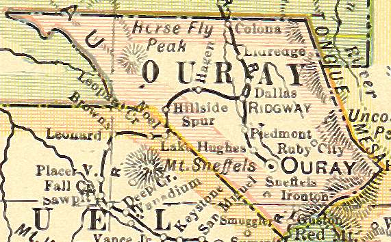
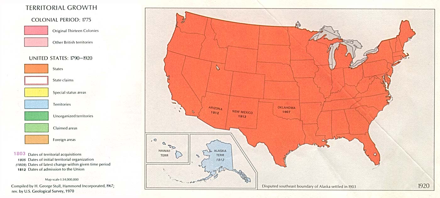
1920 Map of Ouray County | ||||||||
|
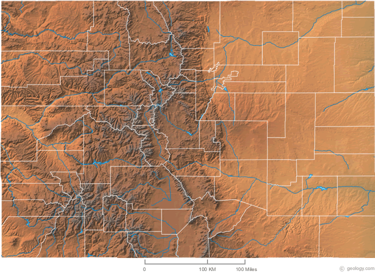
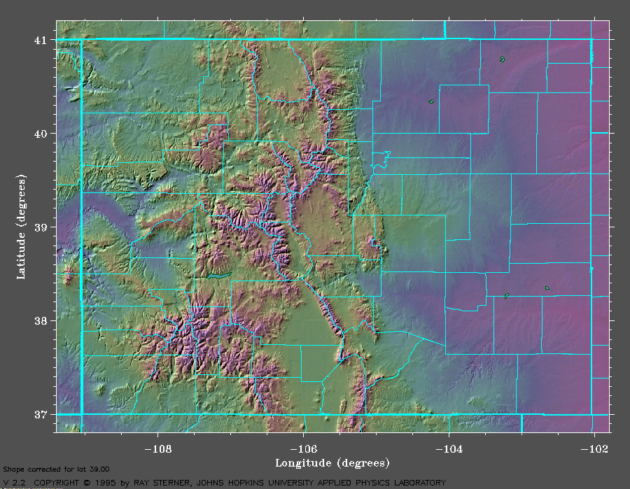
Colorado Relief Map (contains county outlines) | ||||||||
|
Colorado Relief Map (contains county outlines) | ||||||||
|
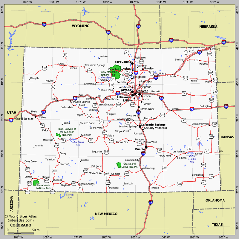
Colorado Road Map | ||||||||
|
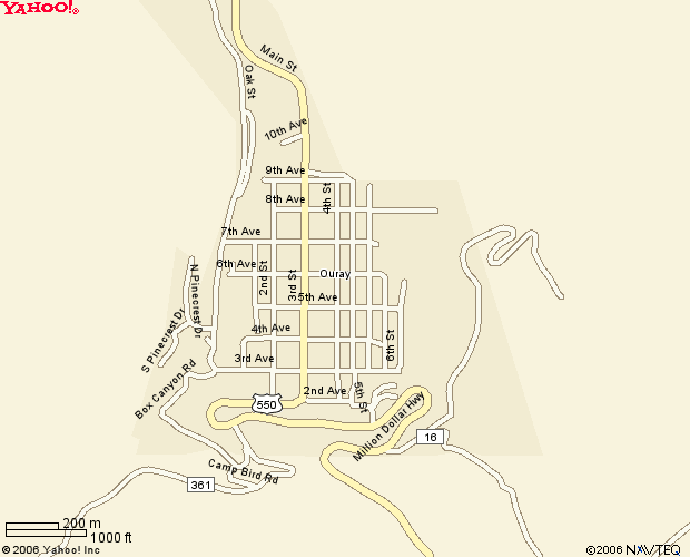
Town of Ouray Map | ||||||||
|
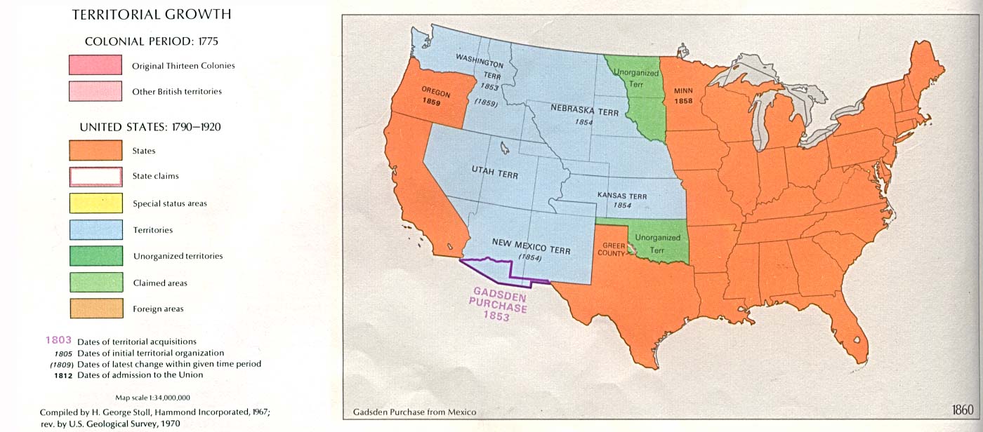
Outline of 1860 Census showing where to look for Colorado records | ||||||||
|
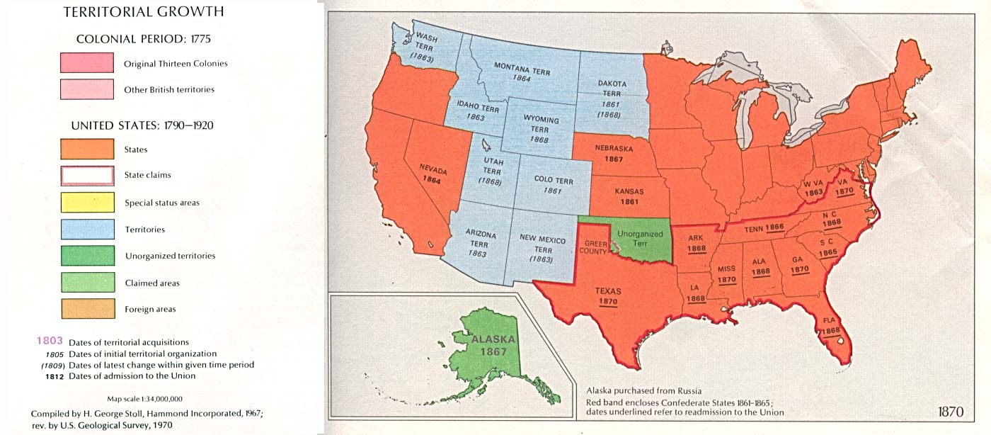
Outline of 1870 Census showing where to look for Colorado records | ||||||||
|
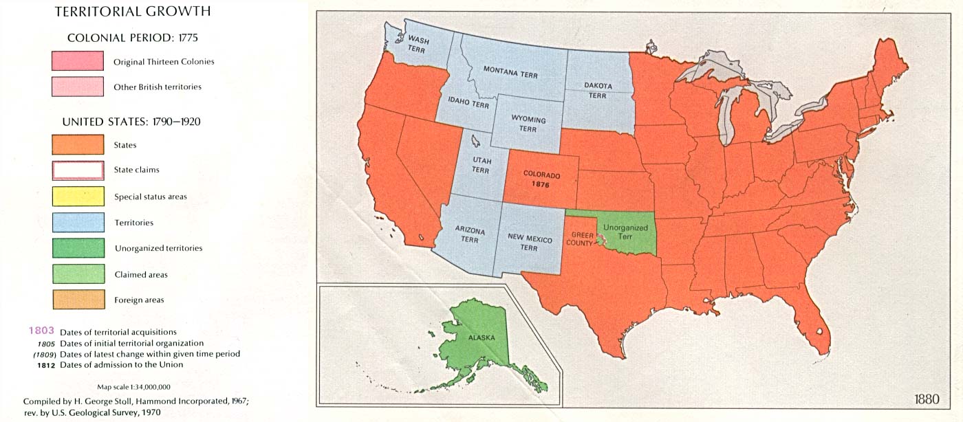
Outline of 1880 Census showing where to look for Colorado records | ||||||||
|
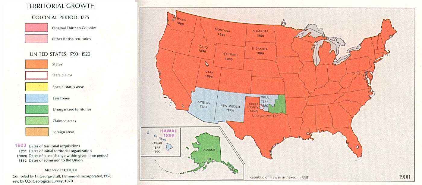
Outline of 1900 Census showing where to look for Colorado records | ||||||||
|
Outline of 1920 Census showing where to look for Colorado records | ||||||||
|
Return to Home Page
|
|||||||||