
| Bird's Eye View Stillwater 1870 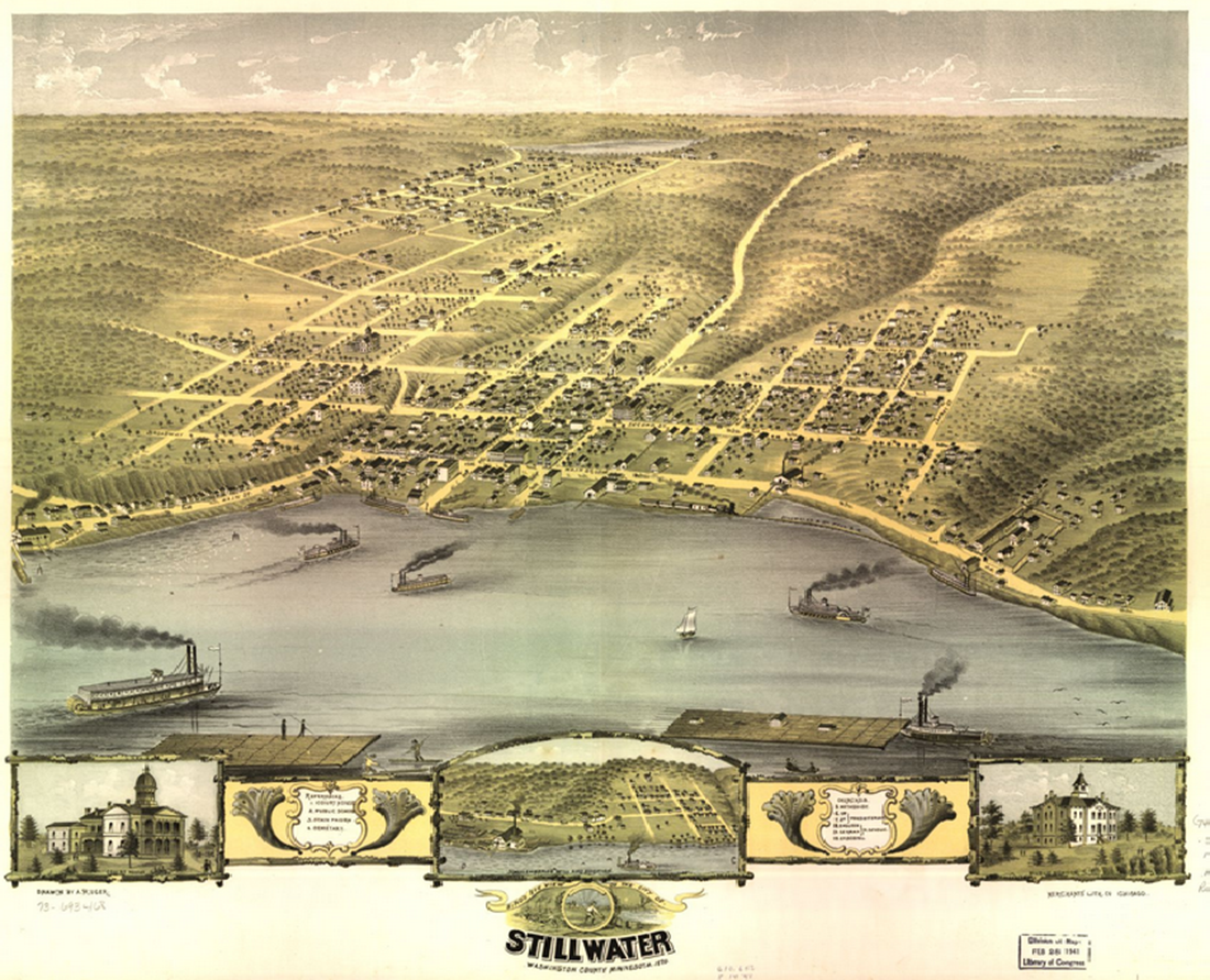 |
Stillwater 1874 
|
Afton Plat Map 1938 with names 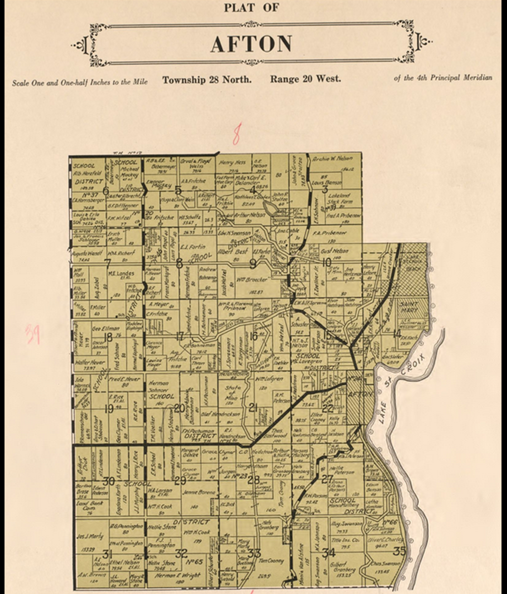 |
Baytown & :Lakeland Plat Map 1938 with names 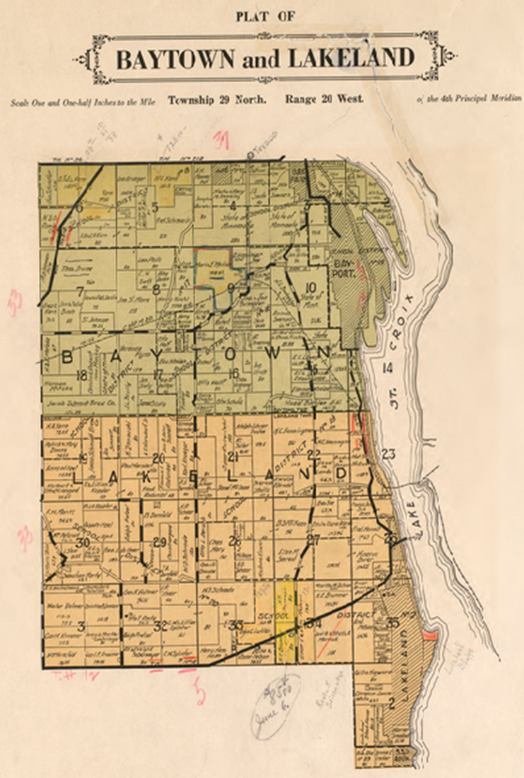 |
County Map 1938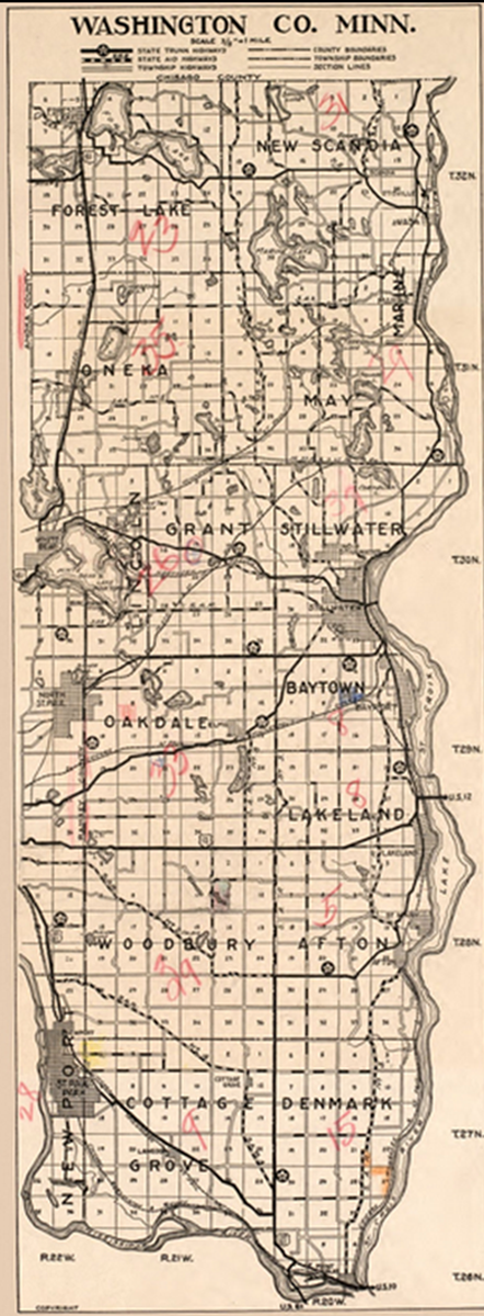 |
Oak Park
Baytown Township Plat Map 1938 without names 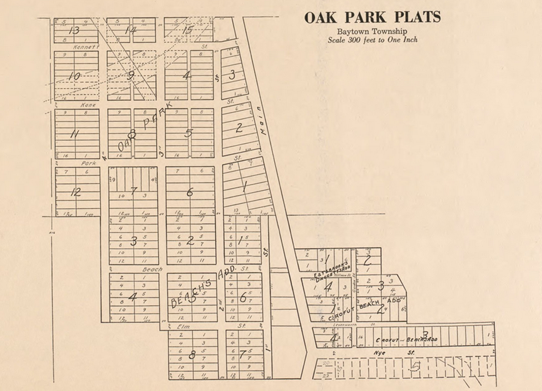 |
Oak Park Stillwater Township Plat Map 1938 without names  |
Oakdale Plat Map 1938 without names 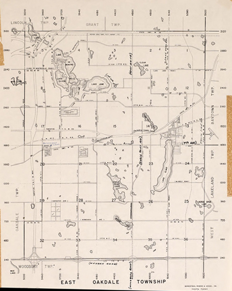 |
Last Update Monday, 07-May-2018 17:44:33 CDT
|
|
County Coordinator:
Gayle Triller
|
|