| Cemetery | Township | Location Description | Researcher(s) | Researched |
| Bergen Lutheran photo 1 photo 2 both taken July 2006, courtesy of Jerry McQuay |
Marboe | 455727N latitude; 0971459W longitude (SE corner of county) | ||
| Brampton | Brampton | 455921N latitude; 0974643W longitude (about 8 miles S of Cogswell) | ||
| Calvary Catholic | Milnor | 461604N latitude; 0972839W longitude (about 1 mile NW of Milnor) | ||
| Cayuga | Kingston | |||
| Clayton | Weber | 455659N latitude; 0973732W longitude (just west of Havana) | ||
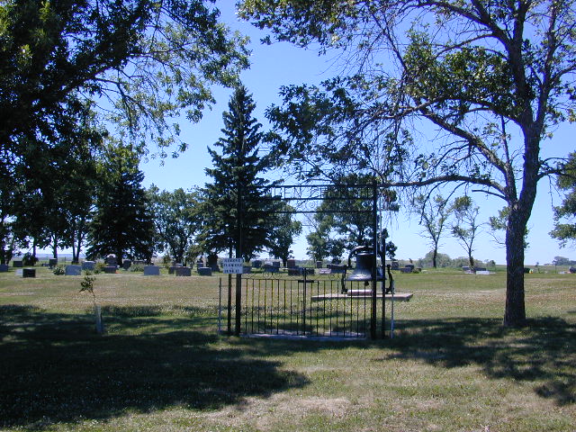
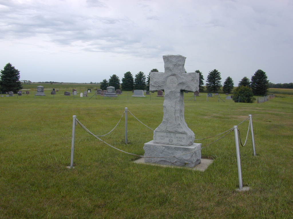
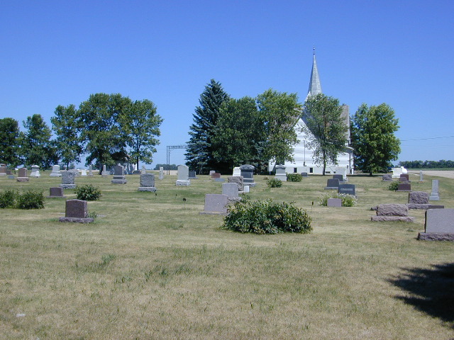
| Concordia photo 1 photo 2 both taken Aug 2007 courtesy of Jerry McQuay |
Shuman | Section 9 where the Concordia Lutheran Church once stood 461001N latitude; 0972683W logitude |
||
| Concordia | Shuman | Section 26; Note: the land in section 26 was donated by John Johnson; no longer used, but still maintained by the Concordia Cemetery Association -submitted in 2003 by Alphie (Johnson) Pearson |
||
| Dunbar | Dunbar | 461100N latitude; 0973219W longitude (about 6 miles SE of Gwinner) | ||
| East Nordland | Ransom | |||
| Forman | Forman | |||
| Gwinner City | Whitestone | 461239N latitude; 0973909W longitude (about 1/2 mile S of Gwinner) | ||
| Hamlin | Herman | see next entry down | Sharen Spaar's mother | 1960's |
| Hamlin photo 1 photo 2 both taken Aug 2007 courtesy of Jerry McQuay |
Herman | 461034N latitude; 0971653W longitude | Jerry McQuay | August 2007 |
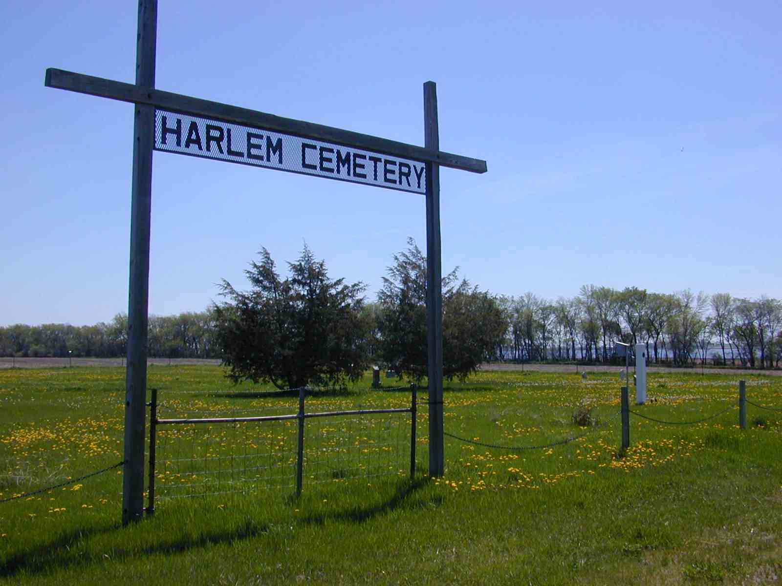
| Harlem photo taken spring 2005, courtesy of Jerry McQuay |
Harlem | 461016N latitude; 0974638W longitude (about 4 miles N of Cogswell) | Jerry McQuay | June 2011 |
| Havana Cemetery | Weber | 455753N latitude; 0973650W longitude (1 mile north of Havana) | LaRae Parrow Huelsmann | June 2002 |
| Holy Sepulcher | Weber | 455702N latitude; 0973757W longitude (about 1 mile W of Havana) | ||
| Immanuel photo 1 photo 2 both taken July 2006 courtesy of Jerry McQuay |
Hall | located behind the church | ||
| Immanuel Lutheran | Denver | |||
| Immanuel Lutheran | Tewaukon | |||
| Kandiotta Union | Shuman | Section 7 | ||
| Lake Tewaukon | Tewaukon | |||
| Lakeside | Milnor | 461503N latitude; 0972730W longitude (about 1/4 mile S of Milnor) | ||
| Milnor Lutheran | Milnor | |||
| Mt. Calvary | Sargent | 460627N latitude; 0974801W longitude (about 1/2 mile W of Cogswell) | ||
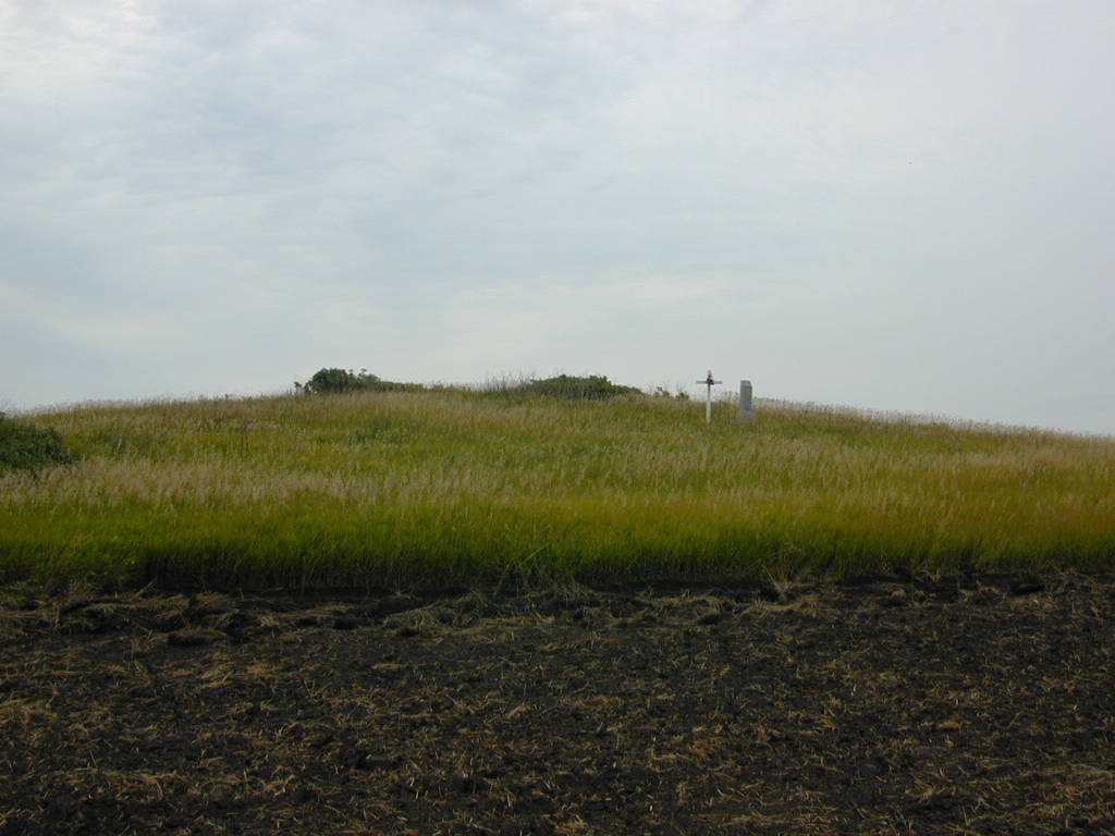
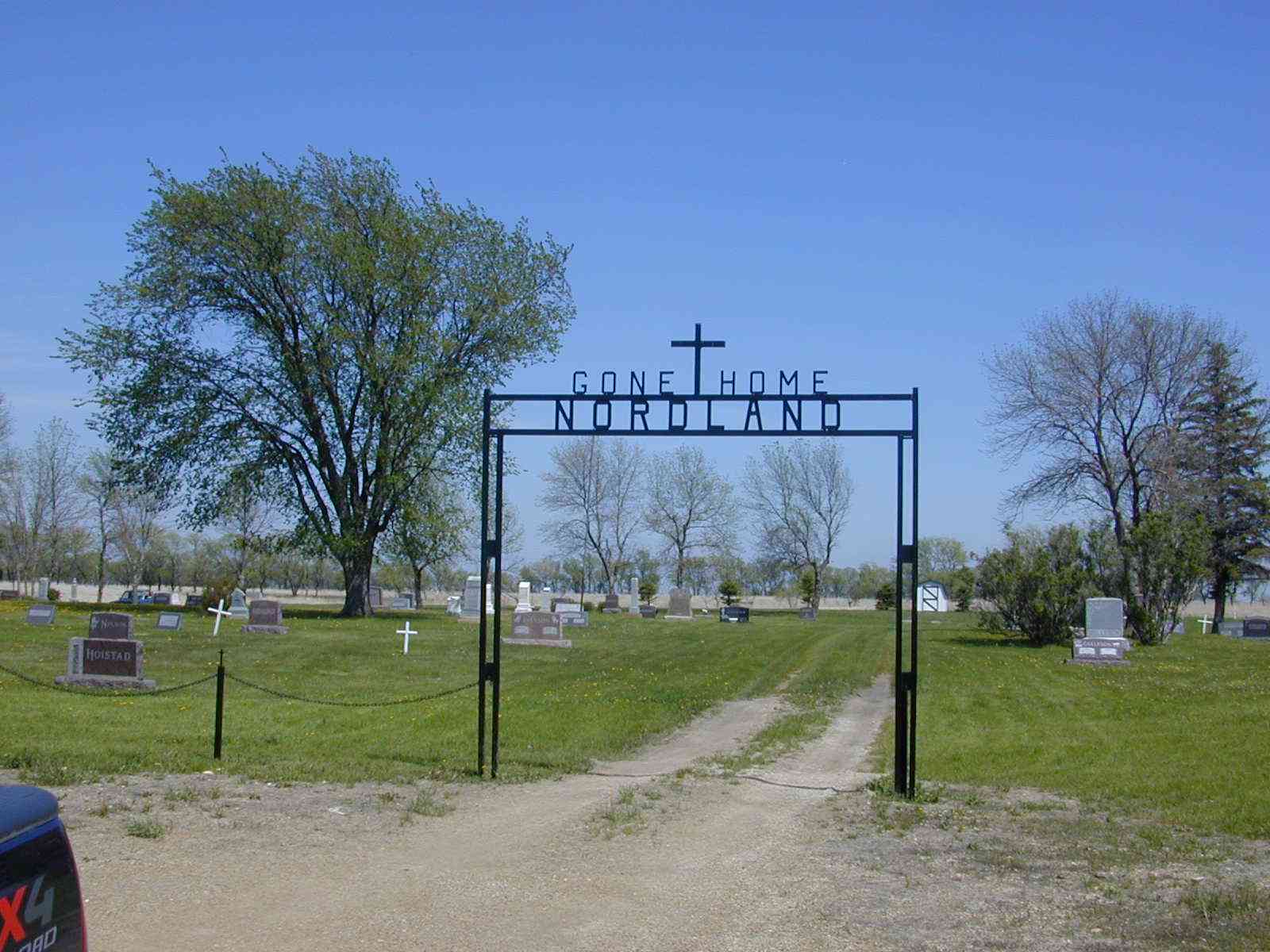
| Nicholson | Sargent | 460610N latitude; 0975144W longitude (about 4 miles W of Cogswell) | Nordland photo taken spring 2005, courtesy of Jerry McQuay |
Ransom | 460241N latitude; 0972759W longitude (about 2.5 miles ESE of Rutland) |
| Old Havana | Weber | NE Sec. 31 | ||
| Old Immanuel photo taken July 2006 courtesy of Jerry McQuay |
Hall | located about 2 blocks south of the church GPS coordinates: 46.13.24 N latitude and 097.19.40W longitude |
||
| Old Sargent | Sargent | 460450N latitude; 0974611W longitude (about 2 miles SSE of Cogswell) | ||
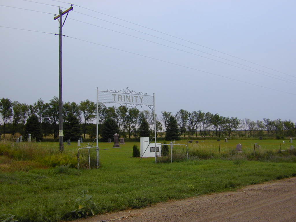
| Old Trinity | Rutland | 460400N latitude; 0973757W longitude (about 3 miles S of Forman) | Louie Gilman | 2005 |
| Rutland Photo 1 Photo 2 both taken Aug 2007 courtesy of Jerry McQuay |
Ransom | Rutland Cemetery is just outside the town, east of Rutland. | ||
| St. Martin's Catholic | Kingston | 460443N latitude; 0971652W longitude (about 5 miles E of Cayuga) | ||
| St. Mary's Catholic Cemetery (Havana) | Weber | west of township | LaRae Parrow Huelsmann | June 2002 |
| St. Mary's Catholic | Forman | |||
| St. Peter and Paul | Kingston | |||
| Scandinavian | Verner | Shuman | Shuman | 460748N latitude; 0972530W longitude (about 4 miles NNE of Cayuga) | Shuman | Shuman | 460782N latitude; 0972556W longitude (about 1 mile W of Cayuga on Highway 10 and then 5 miles N on road 143Ave SE) | Jerry McQuay | Sept 2006 |
| South Trinity Lutheran Photo 1 Photo 2 both taken Aug 2007 courtesy of Jerry McQuay |
Rutland | 460216N latitude; 0973653W longitude (about 5 miles WSW of Rutland) | ||
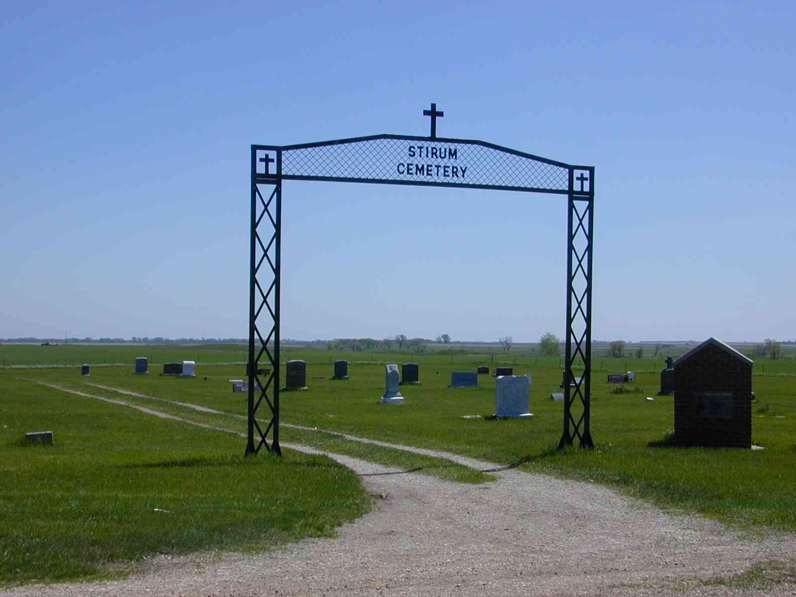
| Stirum photo taken spring 2005, courtesy of Jerry McQuay |
Vivian | Union | Shuman | 461031N latitude; 0972919W longitude (about 6 miles SSE of Milnor) |
| Whitestone Hill | Whitestone | |||
| Zion Lutheran | Willey | 461238N latitude; 0973615W longitude (about 2.5 miles ESE of Gwinner) |
© Copyrighted 1997-2010
Sargent Co., NDGenWeb Coordinator