Views of the Copper Pits near Ruth, Nevada
Click on small photos to enlarge
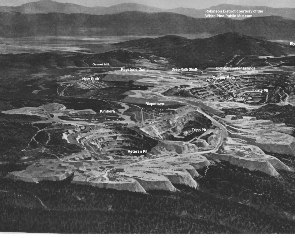
Aerial view ca 1960ish era.
will take some time to load as it is large.
Courtesy of the White Pine Public
Museum
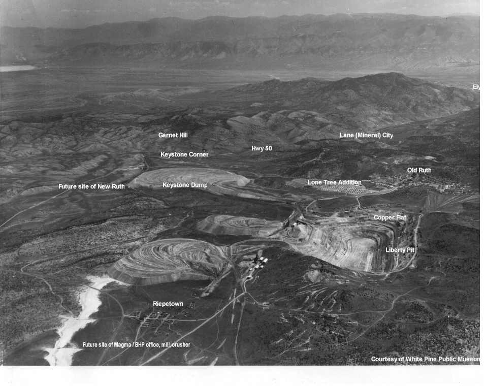
Aerial view pre 1955ish era.
will take long time to load as it is VERY large.
Courtesy of the White Pine Public
Museum
 |
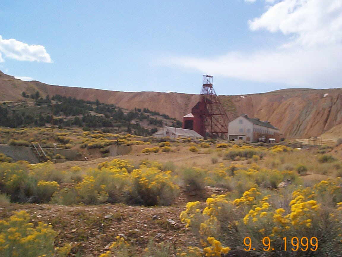 |
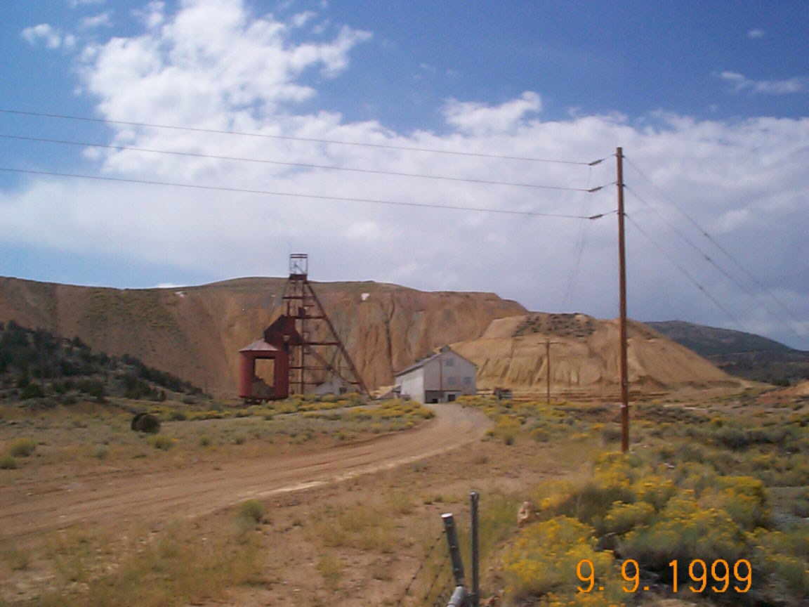
Deep Ruth Shaft.
|
Deep Ruth Shaft and
hoist building.
|
|
|
|
|
Old Ruth Mill and office. |
Old Ruth Mill and office. |
|
|
|
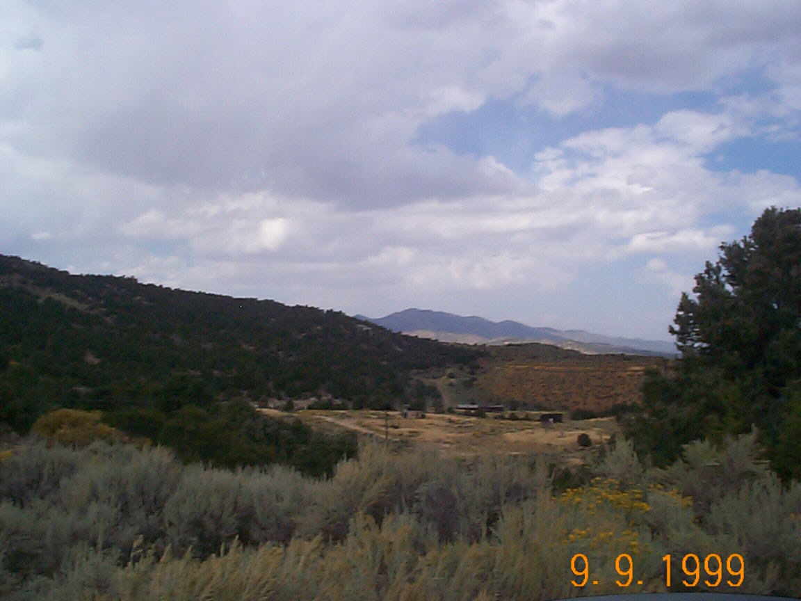
Tonapah Canyon View
1. |
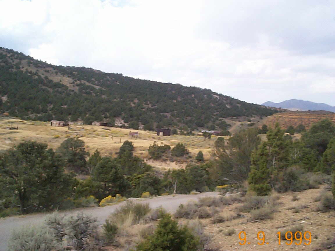
Tonapah Canyon View
2. |