Standard Atlas of Emmons County
Standard Atlas of Emmons County - Index to Illustrations
Standard Atlas of Emmons County - General Index
Standard Atlas of Emmons County
Town Maps
Index
|
Braddock
|
56
|
|
County Outline Showing Townships
|
7
|
|
Hague
|
10
|
|
Hazelton
|
11
|
|
Kintyre
|
51
|
|
Linton
|
8
|
|
Strasburg
|
10-11
|
|
Temvik
|
10-11
|
|
Standard Atlas of Emmons County
Landowner Plat Maps
Index
In Township/Range Order
T=Township, R=Range
|
T129 R74
|
9
|
|
T129 R75 - Elzas
|
19
|
|
T129 R76
|
27
|
|
T129 R77
|
35
|
|
T129 R78
|
43
|
|
T129 R79 - (Emmons Portion)
|
51
|
|
|
|
T130 R74
|
12
|
|
T130 R75
|
20
|
|
T130 R76
|
28
|
|
T130 R77 - Union School
|
36
|
|
T130 R78
|
44
|
|
T130 R79 - (Emmons Portion)
|
52
|
|
|
|
T131 R74
|
13
|
|
T131 R75
|
21
|
|
T131 R76 - Strasburg
|
29
|
|
T131 R77
|
37
|
|
T131 R78
|
45
|
|
T131 R79 - (Emmons Portion)
|
53
|
|
|
|
T132 R74
|
14
|
|
T132 R75
|
22
|
|
T132 R76 - Strasburg
|
30
|
|
T132 R77
|
38
|
|
T132 R78
|
46
|
|
T132 R79 - (Emmons Portion)
|
54
|
|
|
|
T133 R74
|
15
|
|
T133 R75 - Omio
|
23
|
|
T133 R76 - McCulley
|
31
|
|
T133 R77
|
39
|
|
T133 R78
|
47
|
|
T133 R79 - (Emmons Portion)
|
47
|
|
|
|
T134 R74 - Wilson
|
16
|
|
T134 R75 - Highland
|
24
|
|
T134 R76 - Danbury
|
32
|
|
T134 R77
|
40
|
|
T134 R78
|
48
|
|
T134 R79 - (Emmons Portion)
|
48
|
|
|
|
T135 R74 - Tell
|
17
|
|
T135 R75
|
25
|
|
T135 R76 - Hazelton
|
33
|
|
T135 R77
|
41
|
|
T135 R78
|
49
|
|
T135 R79 - (Emmons Portion)
|
49
|
|
|
|
T136 R74 - Campbell
|
18
|
|
T136 R75
|
26
|
|
T136 R76 - Dana
|
34
|
|
T136 R77 - Buchanan Valley
|
42
|
|
T136 R78
|
50
|
|
T136 R79 - (Emmons Portion)
|
55
|
|
1916 Union School Township
With Transcribed Surnames
Landowners Surname Index
Taken from a film/not the Atlas.
In name sequence.
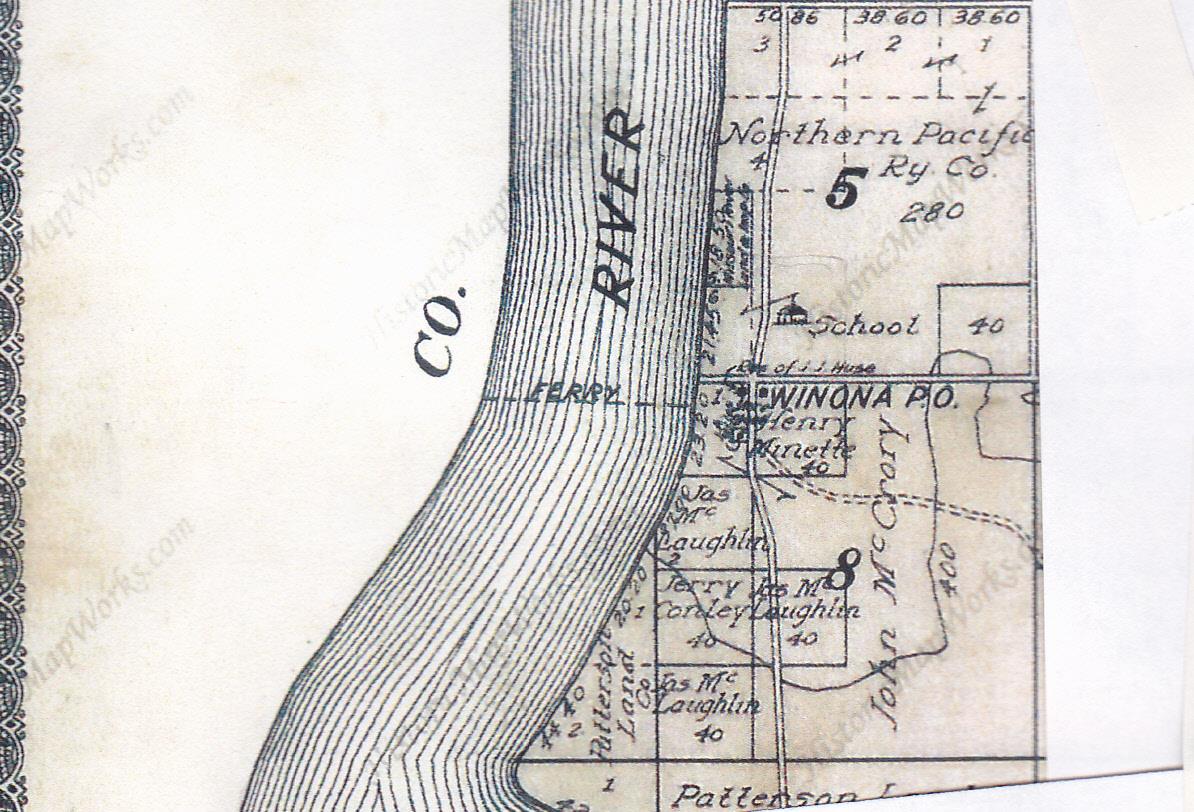
Winona Area
|