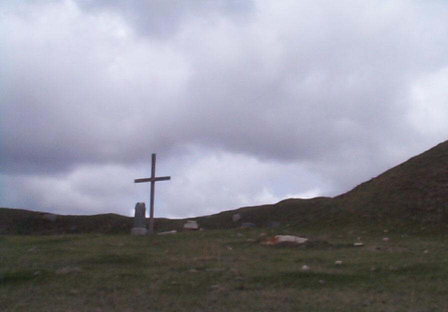
Hunger Cemetery
Brightwood Township, Section 27


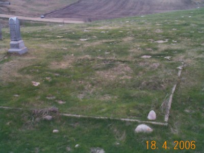
Foundation of a Small Church

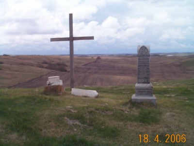
View of Lake Elsie from the Hunger Cemetery

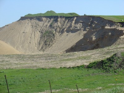
View of The Hunger Cemtery From The Gravel Pit Road

The information below was taken from page 319 of the History of Richland County Book
The Hunger Cemetery was named after Edward Hunger. Edward was said to have made the first map of Richland County! His favorite farm was just west of Lake Elsie, the hills on the property were called "Hunger Hills". He was buried on that property on the crest of the highest hill as he had requested. His body was moved to the cemetery in town some years later. Some of Edward's endeavors were owning a restaurant in Berlin (later named Great Bend, ND), being a farmer, going to Business College in St. Paul, MN and being a Clerk of Court in Wahpeton, ND. He also had a general store in Hankinson and established the Citizens National Bank in Hankinson. At the time of his death in 1916 he owned four thousand acres in North Dakota of which twenty-seven hundred acres were in Richland County. He also owned a good deal of city property and land in Montana.
WORK IN PROGRESS
| BAKER, Elizabeth | 8 July, 1870 | 29 June, 1902 | Photo | Photo |
| DUNHAM, Lemuel | 42 years | 31 Jan., 1890 | Photo | // |
| SIMPKINS, Sarah Coppin | 18 JULY, 1866 | 17 Oct., 1904 | Photo | Photo |
| Top Stone Could Not Read | // | // | Photo | // |
| Bottom of Stone | // | // | Photo | // |